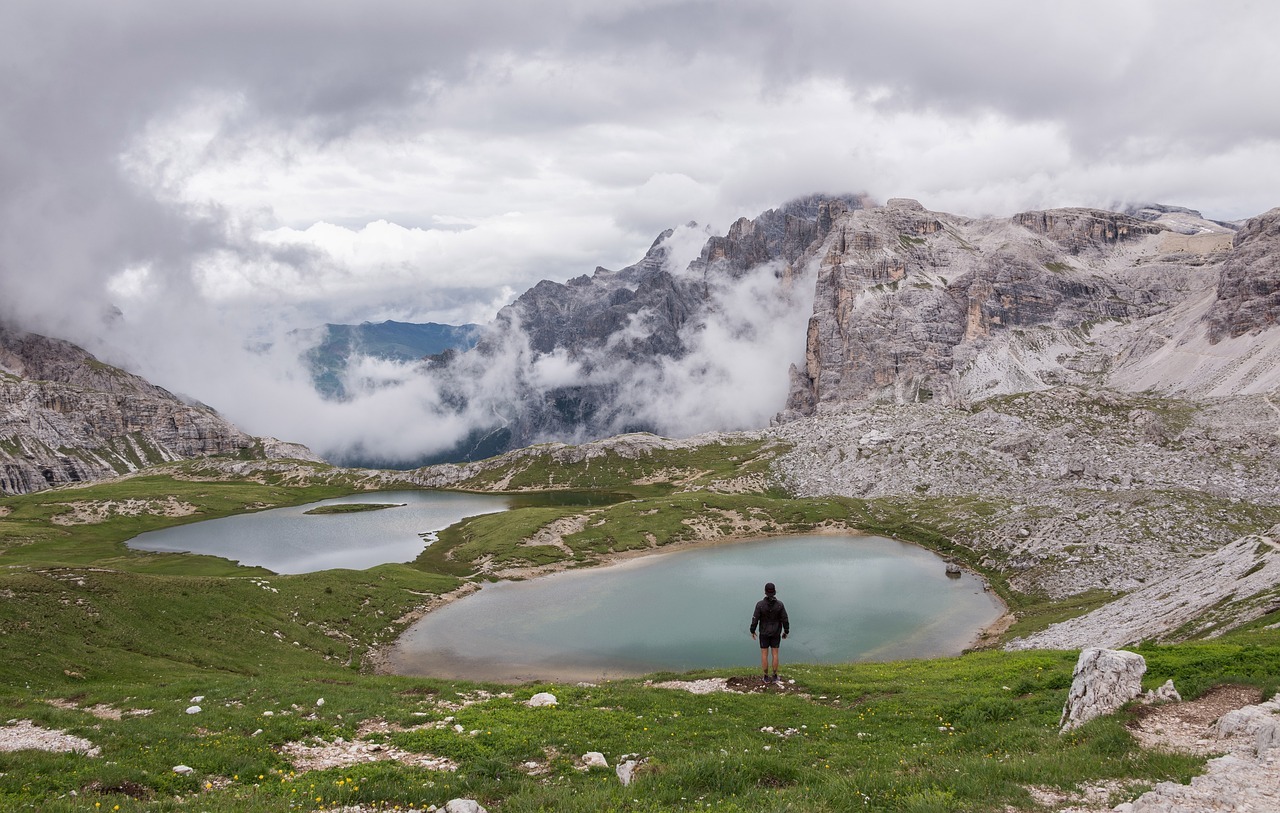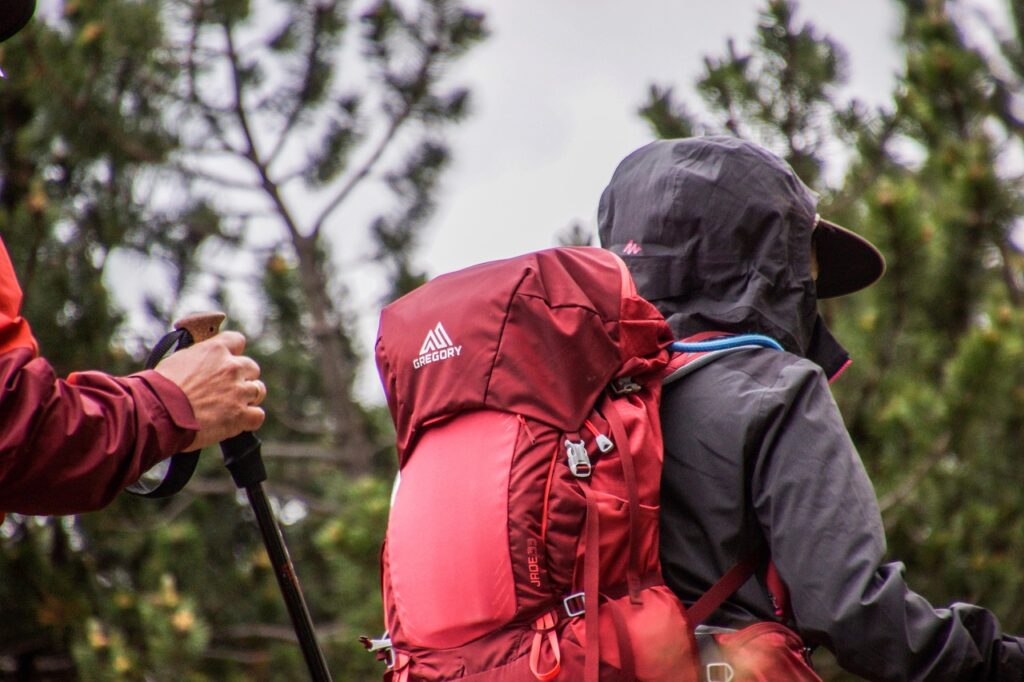
Big Bend National Park offers a plethora of breathtaking hiking trails that cater to all levels of outdoor enthusiasts. From the majestic peaks of the Chisos Mountains to the mesmerizing canyons carved by the Rio Grande, this cherished natural wonder demands exploration. Whether you’re seeking panoramic vistas, arid desert landscapes, or encounters with diverse wildlife, this article will guide you through the top trails that Big Bend has to offer. So lace up your hiking boots and get ready to immerse yourself in the splendor of this extraordinary park.
Lost Mine Trail
Trail description
The Lost Mine Trail is undoubtedly one of the most popular and breathtaking hiking trails in Big Bend National Park. This moderate-level trail spans 4.8 miles round trip, taking hikers on a mesmerizing journey through the Chisos Mountains. As you traverse the trail, be prepared to be immersed in stunning vistas of the park’s unique flora and fauna, including towering pine trees, vibrant wildflowers, and curious wildlife.
Trail features
One of the most remarkable features of the Lost Mine Trail is the panoramic view that awaits hikers at the end. As you reach the summit, you’ll be rewarded with an awe-inspiring vista that stretches as far as the eye can see. From this vantage point, you can marvel at the majestic peaks of the Chisos Mountains, the vast expanse of the Chihuahuan Desert, and even catch a glimpse of Mexico on a clear day.
Difficulty level
While the Lost Mine Trail is rated as moderate, hikers of all experience levels can conquer it with a little determination. The trail steadily gains elevation, but the well-maintained path and switchbacks make the ascent manageable. Take your time, stay hydrated, and enjoy the journey at your own pace.
Trail tips and recommendations
To make the most of your hike on the Lost Mine Trail, we recommend starting early in the morning to avoid the midday heat. Wear comfortable hiking shoes and bring plenty of water, as the Texas sun can be unforgiving. Additionally, don’t forget to pack sunscreen, a hat, and sunglasses to protect yourself from the sun’s rays.
Best time to hike
The best time to embark on the Lost Mine Trail is during the cooler months, from October to April. During this time, temperatures are more comfortable, and the park is less crowded, allowing you to fully immerse yourself in the tranquility and natural beauty of the surroundings.
Santa Elena Canyon Trail
Trail description
The Santa Elena Canyon Trail takes adventurers on an unforgettable journey through a towering limestone canyon carved by the Rio Grande. This moderate-level trail is 1.7 miles round trip, offering hikers an opportunity to witness the sheer grandeur of the canyon walls up close.
Trail features
The main highlight of the Santa Elena Canyon Trail is, without a doubt, the towering canyon walls that rise up to 1,500 feet on either side of the trail. As you navigate through the trail, you’ll find yourself dwarfed by the majestic rock formations, which boast unique geological features and provide a habitat for a variety of plant and animal species.
Difficulty level
The Santa Elena Canyon Trail is accessible to hikers of different skill levels. While the path is relatively flat and well-defined, some sections may require climbing over rocks or wading through shallow water if the Rio Grande is running high. It is important to check the water levels before attempting this trail.
Trail tips and recommendations
To fully appreciate the beauty and tranquility of the Santa Elena Canyon, we recommend bringing a camera to capture the awe-inspiring sights and moments along the trail. Sunscreen, a hat, and sturdy water shoes are also essential, as you may encounter sections of the trail that are submerged in water.
Best time to hike
The best time to hike the Santa Elena Canyon Trail is in the morning or late afternoon, as the canyon walls provide shade during those times. Additionally, aim to visit during the drier months, from November to April, to avoid potential high water levels in the Rio Grande.

South Rim Trail
Trail description
The South Rim Trail is a challenging yet immensely rewarding hike that offers breathtaking views of the Chisos Mountains and the sprawling Chihuahuan Desert. This 12.6-mile loop trail takes hikers through diverse landscapes, from dense forests to open meadows, and culminates in a jaw-dropping vista from the South Rim.
Trail features
One of the standout features of the South Rim Trail is the unparalleled view it offers from the rim. As you reach the top, you’ll be treated to a panoramic spectacle of towering cliffs, rugged canyons, and dramatic cliffs that stretch as far as the eye can see. This trail truly showcases the beauty and grandeur of Big Bend National Park.
Difficulty level
The South Rim Trail is considered a strenuous hike, demanding endurance and physical fitness. The trail involves a significant elevation gain and loss, with steep switchbacks and rocky terrain. It’s important to be well-prepared, both physically and mentally, before undertaking this challenging adventure.
Trail tips and recommendations
To ensure a safe and enjoyable experience on the South Rim Trail, we recommend starting early in the morning to avoid overheating and to allow ample time to complete the hike. Bring plenty of water and high-energy snacks to fuel your journey, and be sure to pack layers of clothing to accommodate changing weather conditions. Take breaks as needed and listen to your body.
Best time to hike
The ideal time to tackle the South Rim Trail is during the cooler months, from November to March, when temperatures are more favorable for strenuous hiking. Keep in mind that weather conditions can change rapidly in this mountainous region, so always check the forecast and be prepared for any unexpected changes.
Emory Peak Trail
Trail description
The Emory Peak Trail is a challenging yet rewarding hike that takes hikers to the highest peak in Big Bend National Park, standing at an impressive elevation of 7,832 feet. This 10.5-mile round trip trail offers stunning vistas, diverse flora, and the opportunity to experience the park’s unique ecosystem up close.
Trail features
One of the most captivating features of the Emory Peak Trail is the breathtaking view from the summit. As you stand atop the peak, you can take in a panoramic vista that encompasses the vastness of the Chihuahuan Desert, the striking Chisos Basin, and the rugged beauty of the surrounding mountains. It’s a sight that will leave you in awe.
Difficulty level
The Emory Peak Trail is considered a challenging hike due to its length and elevation gain. The trail involves steep ascents, rocky sections, and a final scramble to reach the summit. It’s crucial to come prepared with proper hiking gear, sufficient water, and a good level of physical fitness to conquer this trail.
Trail tips and recommendations
Before tackling the Emory Peak Trail, it’s essential to familiarize yourself with the hike and come prepared. Bring a detailed map, compass, or GPS device, as the trail can be challenging to navigate at times. Start early in the morning to allow ample time for the hike, and be on the lookout for wildlife, including black bears and mountain lions, which are occasionally spotted in the area.
Best time to hike
The best time to embark on the Emory Peak Trail is during the cooler months, from October to April, when temperatures are more comfortable for strenuous hiking. Keep in mind that thunderstorms and high winds can occur in the summer months, making the trail unsafe. Always check the weather forecast before your hike and be prepared for changing conditions.

Window Trail
Trail description
The Window Trail is a captivating hike that leads to a breathtaking natural formation known as “The Window.” This moderate-level trail spans 5.6 miles round trip and offers hikers an opportunity to marvel at the park’s diverse landscapes, including desert lowlands and stunning limestone cliffs.
Trail features
One of the prominent features of the Window Trail is the striking vista that awaits hikers at The Window overlook. As you approach the end of the trail, you’ll be greeted by an expansive view of the Chisos Basin, framed perfectly by the towering cliffs on either side. It’s a sight that truly showcases the beauty of the Big Bend National Park.
Difficulty level
The Window Trail is considered a moderate hike, making it accessible to hikers with varying levels of experience. The trail involves some rocky sections and minor elevation changes, but overall, it is relatively straightforward and well-marked. It’s a great option for those looking to explore the park’s natural wonders at a leisurely pace.
Trail tips and recommendations
To enhance your experience on the Window Trail, we recommend bringing a camera to capture the stunning vistas and unique rock formations along the way. Be cautious when approaching The Window overlook, as the cliffs can be dangerous. Stay on marked trails and avoid venturing too close to the edge. As always, bring plenty of water, sunscreen, and appropriate footwear.
Best time to hike
The Window Trail can be enjoyed year-round, but the best time to hike it is during the cooler months, from October to April. This ensures more comfortable temperatures and allows you to fully savor the beauty of the Chisos Basin without the scorching summer heat. Consider embarking on this hike in the early morning or late afternoon for the best lighting conditions.
Boquillas Canyon Trail
Trail description
The Boquillas Canyon Trail provides hikers with a unique opportunity to explore the serene beauty of the Rio Grande and the stunning canyon that it has carved over millions of years. This easy-level trail covers 1.4 miles round trip and offers a tranquil escape into nature.
Trail features
One of the most captivating features of the Boquillas Canyon Trail is the tranquil ambiance and picturesque scenery. As you walk along the trail, you’ll be greeted by the soothing sounds of the Rio Grande and the towering canyon walls that rise majestically on either side. The trail also serves as a border between the United States and Mexico, adding to its cultural significance.
Difficulty level
The Boquillas Canyon Trail is considered an easy hike suitable for hikers of all ages and skill levels. The trail is relatively flat and well-maintained, making it accessible to families with young children or those looking for a more leisurely nature walk.
Trail tips and recommendations
To fully immerse yourself in the serenity of the Boquillas Canyon Trail, we recommend bringing binoculars to observe the abundant birdlife and wildlife that call this area home. Take your time as you walk along the trail, allowing yourself the opportunity to appreciate the intricate beauty of the canyon walls and the river’s reflective waters.
Best time to hike
The Boquillas Canyon Trail can be enjoyed year-round, but the best time to hike it is during the cooler months, from November to April when temperatures are more comfortable. Consider visiting during the spring months when the wildflowers are in full bloom, adding a splash of color to the rugged beauty of the canyon.

Hot Springs Historic Trail
Trail description
The Hot Springs Historic Trail offers hikers a unique blend of natural beauty and cultural history, making it a must-visit trail in Big Bend National Park. This easy-level trail covers 0.9 miles round trip and takes you to a serene hot spring that has been utilized for centuries for its rejuvenating properties.
Trail features
One of the most notable features of the Hot Springs Historic Trail is the opportunity to soak in the soothing waters of the hot spring. The hot spring, which maintains a temperature of around 105 degrees Fahrenheit, offers a blissful respite after a day of hiking. The trail is also dotted with historical remnants, including the ruins of an old bathhouse, which provides a glimpse into the area’s past.
Difficulty level
The Hot Springs Historic Trail is an easy hike suitable for hikers of all ages and fitness levels. The trail is mostly flat and well-marked, allowing for a leisurely stroll through the beautiful desert landscape.
Trail tips and recommendations
To make the most of your visit to the Hot Springs Historic Trail, we recommend bringing a towel and a change of clothes if you plan on taking a dip in the hot spring. The spring can be quite busy during peak times, so visiting early in the morning or late in the afternoon can provide a more peaceful and intimate experience. Don’t forget to pack a picnic and enjoy the serene surroundings.
Best time to hike
The Hot Springs Historic Trail can be enjoyed year-round, but the best time to hike it is during the cooler months, from November to April. During these months, the hot spring’s warm waters provide a welcome respite from the potentially cooler temperatures outside.
The Outer Mountain Loop
Trail description
The Outer Mountain Loop is an epic and challenging adventure that allows hikers to fully immerse themselves in the rugged and untamed wilderness of Big Bend National Park. This 30-mile loop trail takes you on a multi-day journey through diverse landscapes, including desert lowlands, towering mountains, and remote canyons.
Trail features
One of the most remarkable features of the Outer Mountain Loop is the opportunity to experience the park’s pristine and untouched wilderness. As you traverse the trail, you’ll encounter diverse ecosystems, from arid desert landscapes to lush forests, and encounter breathtaking viewpoints that offer sweeping vistas of the park’s diverse terrain.
Difficulty level
The Outer Mountain Loop is an incredibly challenging hike that demands physical endurance and advanced backpacking skills. The trail’s length, rugged terrain, and elevation changes require hikers to be well-prepared and experienced in backcountry hiking. It’s crucial to plan and pack meticulously, as the trail is remote and lacks amenities.
Trail tips and recommendations
Before undertaking the Outer Mountain Loop, it is essential to obtain a backcountry camping permit and familiarize yourself with the park’s regulations. Carry a detailed map, compass, or GPS device and be prepared for potential encounters with wildlife, including snakes and bears. Proper gear, including a reliable backpack, sturdy hiking boots, and lightweight camping equipment, is essential. Additionally, plan your water supply carefully, as water sources along the trail may be limited.
Best time to hike
The ideal time to tackle the Outer Mountain Loop is during the cooler months, from November to March when temperatures are more mild. It is essential to schedule your hike to avoid potential thunderstorms, as the area is prone to flash floods. This challenging hike is best suited for experienced backpackers seeking an immersive and rewarding wilderness adventure.

Mule Ears Spring Trail
Trail description
The Mule Ears Spring Trail offers hikers a chance to explore a unique geological formation known as the Mule Ears Peaks and discover a hidden oasis in the desert. This moderate-level trail spans 3.8 miles round trip and provides a diverse and rewarding hiking experience.
Trail features
One of the most captivating features of the Mule Ears Spring Trail is the prominent Mule Ears Peaks, which are an iconic sight in Big Bend National Park. These twin peaks, resembling mule ears, rise dramatically from the surrounding desert floor, showcasing the park’s unparalleled beauty. The trail also leads to a refreshing desert spring, providing a serene and tranquil setting amidst the arid environment.
Difficulty level
The Mule Ears Spring Trail is rated as moderate, making it accessible to hikers with varying levels of experience. The trail involves some elevation gain and rocky sections, but overall, it is well-marked and easy to follow. This hike is a fantastic option for those seeking a relatively shorter and less strenuous adventure.
Trail tips and recommendations
To fully appreciate the unique features of the Mule Ears Spring Trail, we recommend bringing a camera to capture the incredible views of the rugged peaks and the desert landscape. Carry plenty of water, as the trail can be exposed to the sun, and wear sun protection, including a hat and sunscreen. Be sure to check for any trail closures or warnings before setting out on your hike.
Best time to hike
The best time to embark on the Mule Ears Spring Trail is during the cooler months, from October to April. This ensures more comfortable temperatures and allows you to fully enjoy the beauty of the desert without the intense heat of the summer months. Consider hiking in the early morning or late afternoon to experience the golden hues of the desert sun.
Grapevine Hills Trail
Trail description
The Grapevine Hills Trail offers hikers a unique opportunity to explore the dramatic geological formations that define Big Bend National Park. This easy-level trail spans 2.2 miles round trip and takes you on a captivating journey through a beautiful desert landscape.
Trail features
One of the standout features of the Grapevine Hills Trail is the impressive balanced rock formation that awaits hikers at the end of the trail. As you approach the giant balanced rock, you’ll be astounded by its sheer size and the forces of nature that have created such a phenomenon. The trail also meanders through picturesque desert scenery, showcasing the park’s rugged beauty.
Difficulty level
The Grapevine Hills Trail is considered an easy hike, suitable for hikers of all ages and fitness levels. The trail is mostly flat, with a few rocky sections to navigate. It’s an excellent option for families or those seeking a more leisurely hike.
Trail tips and recommendations
To fully appreciate the enchanting beauty of the Grapevine Hills Trail, we recommend setting aside some time to explore the area around the balanced rock. The rocks and boulders in the vicinity provide an adventurous playground for climbers and photographers alike. Be cautious when scrambling on the rocks and avoid venturing too close to the unstable edges.
Best time to hike
The Grapevine Hills Trail can be enjoyed year-round, but the best time to hike it is during the cooler months, from November to April. This allows for more pleasant temperatures and allows you to fully immerse yourself in the desert landscape without the scorching heat. Consider visiting in the early morning or late afternoon to witness breathtaking sunrises or sunsets over the horizon.
In conclusion, Big Bend National Park offers a plethora of stunning hiking trails that cater to different skill levels and interests. Whether you’re seeking panoramic vistas, tranquil canyons, or captivating geological formations, the park has something to offer every hiker. Exploring these trails allows you to fully immerse yourself in the natural beauty and unique landscapes of Big Bend National Park, creating memories that will last a lifetime. So grab your hiking boots, pack your backpack, and get ready to embark on an unforgettable adventure in one of America’s most breathtaking national parks. Happy hiking!
